Annexation Open House
By John Swartz
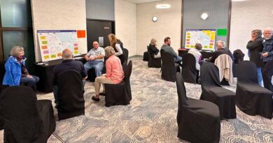
Orillia last expanded its borders 35 years ago, and because of provincial regulations related to several provincial growth plans is now in a position where it must expand its borders. There will be an online open house December 1 from 6 to 8 p.m. and those interested can go to the City’s webpage on this issue to register and to see finer details of progress to date.
Anyone who has lived in a place where annexation has happened knows it’s often a messy affair. The province requires municipalities to update their Official Plans by July 1, 2022. The City started the update process; hired Hemson Consulting to do a land needs analysis in 2018, and then the province told municipalities to hold off on work until it updated growth policy. The work picked up again late last year and Hemson determined the City needs to grow by at least 257 hectares for housing and light commercial uses, and 124 hectares for employment lands, for a total of 381 hectares.
![]()


![]()
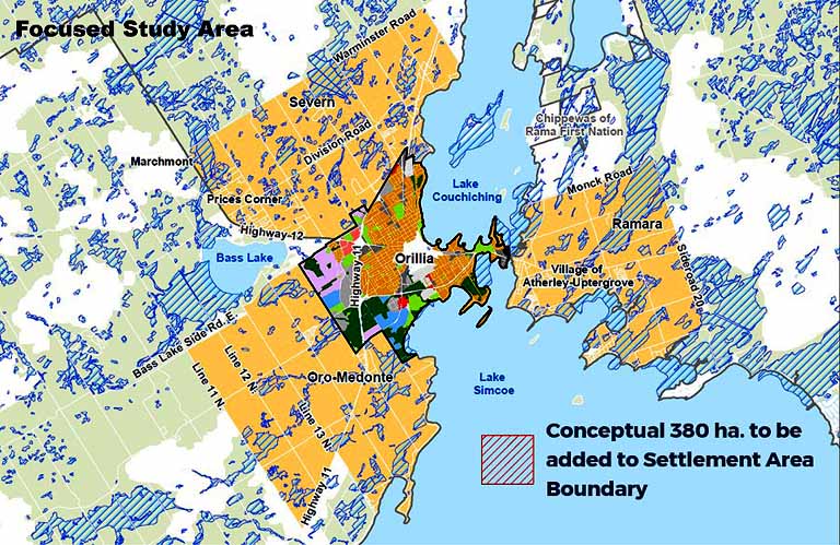
A different consultant, WSP, has been hired to identify the land Orillia could annex. There are several criteria to determine which lands they are looking for. Most people believe annexation is related to gobbling up built up areas bordering municipal boundaries for the property tax revenue. In some cases it has made sense when the urbanized area is so great and there is disparity of services offered on one side of a boundary from the other. However, and in this case, the real reason to find land is to meet the province’s population growth projection of 49,000 people and enough land to support 26,000 jobs by 2051.
Those are updated figures from the province, the last figures were for a population of 41,000 by 2035, which Orillia could accommodate with the current infrastructure (water, wastewater, roads and other services).
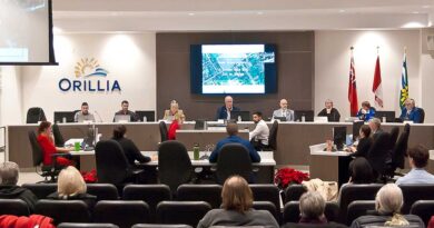
Council had a special meeting October 22 where WSP presented their work on the municipal comprehensive (MCR) review to date.
“The current technical land evaluation project is the next step in our MCR process. This project is an evaluation of the land within the surrounding municipalities to help inform future recommendations about where the City’s required boundary expansion needs can best be met.,” said Greg Bender, senior manager with WSP.
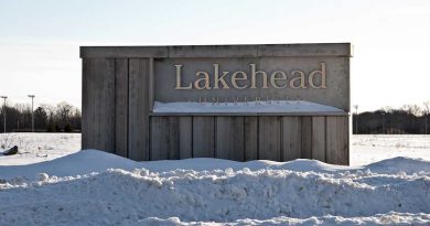
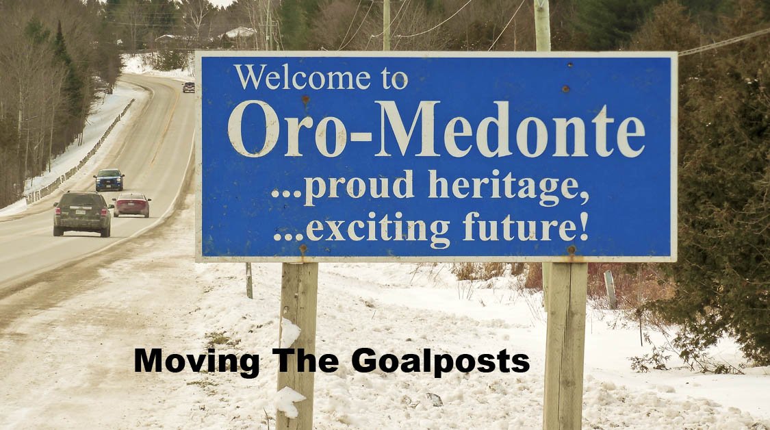
They have chosen a large area in each of the three bordering townships to find the kind of land with the best potential for development. It’s not as simple, say, to expand all the way to Division Road and along Oro-Medonte’s 11th Line. The province doesn’t want municipalities trying to expand (there are others beside Orillia) by taking prime farmland, wetlands, or lands vital to the waterway system. It also doesn’t make sense to take over land that would be expensive to develop.
“As an example, if you were going to expand in one particular area that hypothetically has a significant amount of bedrock that might have to be blown out, or drilled out, it might be very expensive to extend water and wastewater out to that particular area,” Bender said.
The map below shows the township lands being investigated. The red area in the middle of Lake Simcoe is the actual size of land needed, so the orange areas in the townships are larger than needed and a whittling down process will take place.
“We are not looking to impact the adjacent municipality’s existing settlement areas and where those future development plans might be. If they have an existing settlement area that is identified for future growth, we’re looking to avoid those lands. We’re also looking to avoid lands that have been developed. Let’s pretend there’s a large subdivision where there are a number of houses on it. That doesn’t really help the City to develop future growth lands because I highly doubt those will be developed over time. We’re actually looking to look at lands that haven’t been developed in the past,” said Bender.
“We also don’t want a municipal boundary that jigs and jags all over the place and will be very difficult for a number of reasons for the City to maintain over time. We need to ensure the recommended boundary area as much as possible is contiguous, represents lands that could actually develop over time.”
![]()


![]()
Experience in other municipalities where annexation has occurred, not counting forced amalgamations under the Harris regime, have not been without contention. Councillor Ted Emond, who was on council last time Orillia expanded it’s borders by annexing part of Orillia Township told council it was an uncontested affair – and it may have been the odd case out. To that end, avoiding conflict with neighboring townships and property owners who didn’t by land in the City for reasons, an extensive consultation process, both public and with affected municipalities and property owners, is planned – and in fact some meeting shave already occurred.
“If you recommend lands to be incorporated into a future city expanded boundary and you haven’t engaged with those landowners, it’s going to be a rough road,” said Bender.
(Photos by Swartz – SUNonline/Orillia; Images Supplied)